
Cities grow fast. Forests shrink quietly. Roads change every yea
How do experts track these changes across the entire planet?
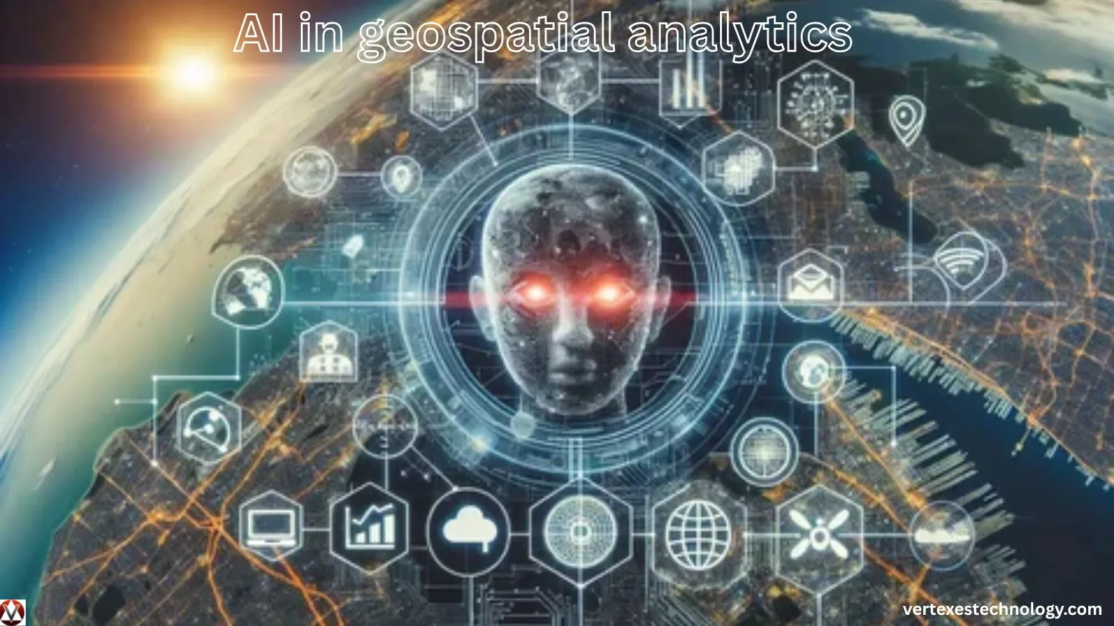
Satellites capture enormous volumes of location data daily. Traditional software struggles to process such massive datasets quickly. This is where AI in geospatial analytics becomes powerful. Artificial intelligence helps analyze maps, satellite images, and spatial data with remarkable speed.
Businesses, governments, and researchers rely on this technology to detect patterns hidden inside geographic information. From disaster response to urban planning, location intelligence now depends heavily on advanced AI tools.
The result is smarter decision-making powered by automation and innovation.
RELATED: AI in dentistry solution
What is AI in Geospatial Analytics?
AI in geospatial analytics refers to the use of artificial intelligence to analyze geographic data. This data includes maps, satellite images, GPS signals, and spatial databases.
Traditional geospatial analysis relies on manual interpretation. Analysts examine maps and interpret patterns visually. AI changes that process completely.
Machine learning algorithms scan spatial datasets automatically. They detect objects, classify land areas, and predict geographic trends.
The technology combines several systems:
- Artificial intelligence algorithms
- Geographic Information Systems (GIS) software
- Satellite imagery processing tools
- Cloud computing infrastructure
- Advanced hardware for high-speed computation
Industries now use these tools to understand how locations influence events, resources, and human activity.
How Does AI in Geospatial Analytics Work?
AI-driven geospatial systems process massive spatial datasets through automated workflows.
Step 1: Data Collection
Geospatial data comes from multiple sources:
- Satellites
- Drones
- GPS devices
- IoT sensors
- Geographic databases
These sources capture real-time location information across land, oceans, and cities.
Step 2: Data Processing
AI algorithms analyze raw spatial data using machine learning models. The software identifies patterns and geographic features.
Step 3: Pattern Detection
Computer vision models detect objects such as buildings, roads, forests, and vehicles in satellite images.
Step 4: Predictive Analysis
Predictive algorithms forecast changes like urban growth, climate shifts, or traffic congestion.
Step 5: Visualization
Results appear in maps, dashboards, or interactive GIS platforms. Decision-makers then act on the insights.
This automated pipeline transforms raw location data into meaningful intelligence.
Key Features of AI in Geospatial Analytics
AI-powered geospatial platforms offer powerful capabilities.
Intelligent Image Recognition
AI detects objects within satellite imagery. It identifies structures, land types, and geographic boundaries quickly.
Real-Time Spatial Data Analysis
Modern systems process location data almost instantly. This supports faster decision-making.
Predictive Geographic Modeling
Machine learning predicts future events such as flood risks or population expansion.
Automation of GIS Tasks
AI automates tasks previously done manually by analysts.
Cloud-Based Infrastructure
Cloud computing enables scalable processing for massive datasets.
Cybersecurity Integration
Secure data pipelines protect sensitive geographic information.
These features create advanced location intelligence platforms used across industries.
Benefits of AI in Geospatial Analytics
Organizations gain several advantages from adopting AI in geospatial analytics.
Faster Data Processing
AI analyzes millions of spatial records quickly.
Improved Accuracy
Machine learning models detect patterns humans might miss.
Better Decision-Making
Businesses rely on location intelligence to optimize operations.
Cost Efficiency
Automation reduces the need for large manual analysis teams.
Scalable Infrastructure
Cloud-based software handles large data volumes easily.
Innovation Across Industries
New services emerge through advanced spatial analytics.
These benefits make geospatial AI essential for modern technology ecosystems.
Real-World Applications of AI in Geospatial Analytics
Urban Planning
Cities use AI-driven maps to manage traffic, infrastructure, and population growth.
Environmental Monitoring
Scientists track deforestation, climate change, and wildlife habitats using satellite analysis.
Agriculture
Farmers analyze soil conditions, irrigation patterns, and crop health through spatial AI systems.
Disaster Management
Emergency teams detect wildfire spread, floods, and storm damage using geospatial insights.
Transportation
Logistics companies optimize delivery routes through predictive mapping tools.
Defense and Security
Governments monitor border activity and strategic locations using geospatial intelligence systems.
These examples show the broad impact of AI in geospatial analytics across sectors.
Advantages and Disadvantages
Advantages
- High-speed spatial data analysis
- Improved geographic predictions
- Reduced manual mapping tasks
- Better industry decision support
- Strong integration with automation systems
Disadvantages
- Expensive infrastructure setup
- Requires specialized technical skills
- Data privacy concerns in some regions
- Dependency on high-quality satellite data
Comparison Table
| Aspect | Advantage | Limitation |
|---|---|---|
| Data Processing | Extremely fast | Requires powerful hardware |
| Automation | Reduces manual work | Needs skilled AI engineers |
| Accuracy | High precision mapping | Dependent on training data |
| Innovation | Enables new analytics tools | Implementation cost |
Balanced implementation helps organizations gain maximum value.
Is AI in Geospatial Analytics Safe and Secure?
Security is critical when dealing with sensitive location data.
Modern geospatial platforms implement several cybersecurity mechanisms.
Technical Security Measures
- End-to-end encryption for spatial datasets
- Secure cloud storage architecture
- Multi-factor authentication systems
- AI-driven anomaly detection
- Role-based access control
Hardware security modules protect data during processing. Cloud providers also implement strict compliance standards.
Cybersecurity remains a top priority for organizations deploying AI in geospatial analytics systems.
With proper safeguards, these platforms maintain strong data protection.
AI in Geospatial Analytics vs Traditional GIS Analytics
| Feature | AI in Geospatial Analytics | Traditional GIS Analytics |
|---|---|---|
| Data Processing | Automated with AI models | Mostly manual analysis |
| Speed | Extremely fast | Slower processing |
| Pattern Detection | AI-driven insights | Human interpretation |
| Predictive Capability | High predictive accuracy | Limited forecasting |
| Scalability | Cloud-enabled | Often limited by hardware |
Traditional GIS still plays an important role. AI simply enhances its analytical power.
Future of AI in Geospatial Analytics
The future of AI in geospatial analytics looks promising.
Advances in hardware will allow faster spatial data processing. Quantum computing may accelerate geographic modeling dramatically.
Several trends will shape this technology:
- AI-powered satellite networks
- Autonomous drones collecting spatial data
- Smart cities using real-time geospatial insights
- Climate prediction systems powered by AI
- Integration with Internet of Things sensors
Automation will also improve mapping accuracy worldwide. Industries will rely more on predictive geographic intelligence.
Innovation in geospatial AI will continue transforming global decision-making.
Common Problems and Solutions
Problem 1: Data Quality Issues
Poor satellite images reduce accuracy.
Solution: Use high-resolution imagery and reliable data sources.
Problem 2: High Infrastructure Costs
Advanced AI hardware can be expensive.
Solution: Cloud-based geospatial platforms reduce hardware investment.
Problem 3: Skill Shortages
Few professionals understand both AI and geospatial science.
Solution: Organizations should invest in training and specialized talent.
Problem 4: Security Risks
Location data can expose sensitive information.
Solution: Strong encryption and cybersecurity policies must be implemented.
These solutions help organizations adopt geospatial AI successfully.
FAQs
What is AI in geospatial analytics?
AI in geospatial analytics uses artificial intelligence to analyze location data from satellites, maps, and sensors.
Why is AI important for geospatial analysis?
AI processes large spatial datasets quickly and identifies patterns that manual analysis may miss.
Which industries use geospatial AI?
Urban planning, agriculture, defense, logistics, and environmental research rely heavily on geospatial AI systems.
Is geospatial AI accurate?
Yes. Machine learning models improve accuracy by analyzing large datasets and learning from patterns.
Does geospatial AI require cloud computing?
Many platforms use cloud computing to process large volumes of spatial data efficiently.
Can AI predict environmental changes?
Yes. Predictive models analyze satellite data to forecast climate trends and land-use changes.
Final Verdict
AI in geospatial analytics is reshaping how humans understand the planet. Artificial intelligence, powerful software, and advanced hardware now transform raw geographic data into valuable insights.
Industries benefit from faster analysis, predictive intelligence, and automated spatial mapping. Despite challenges such as infrastructure costs and data security concerns, the advantages remain substantial.
As innovation continues, geospatial AI will become a cornerstone of modern technology systems. Organizations that adopt it early will gain stronger location intelligence and smarter strategic decisions.